When Fontana Dam was constructed, NC288 was submerged as the reservoir filled. Much of the old road ran alongside the small river that Fontana Dam brought under control. But some of the road was on higher ground. A plan to replace the road fell through, and only short parts of the replacement road were built, hence the "Road to Nowhere" and "Tunnel to Nowhere".
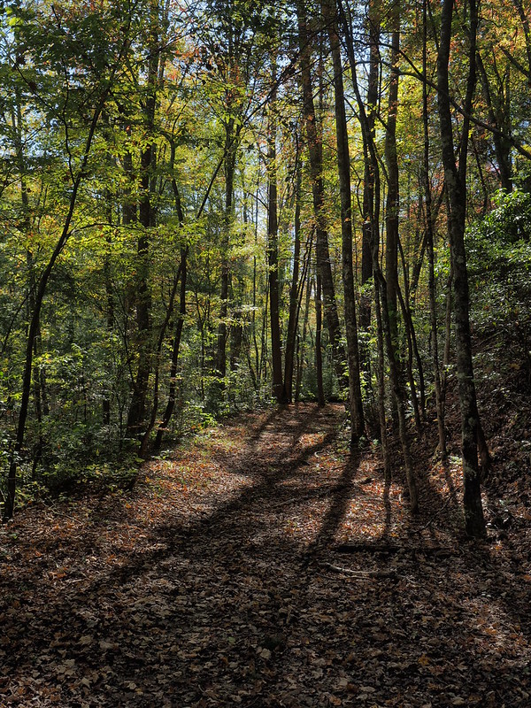
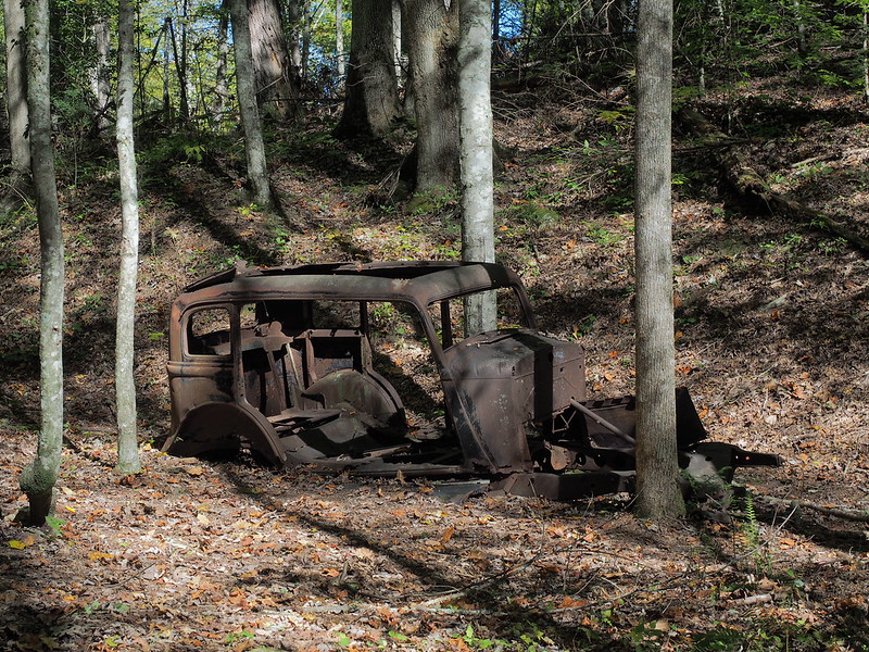
Most of NC288 was a rugged single lane dirt road, winding around the mountains with no guardrails. If oncoming traffic came from the other way, one may have to reverse for a mile or more until the road widened enough to allow the two cars to pass each other. There were many foolish attempts at passing on the one lane sections, resulting in a high number of crashes. Hike several miles along this rugged trail into the mountains to discover what remains from over 60 years ago.
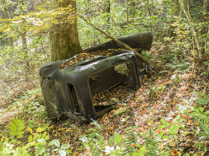
This vehicle rolled off the edge, coming to rest sideways against a tree. Intentional, or accidental?
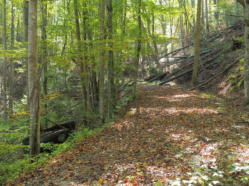
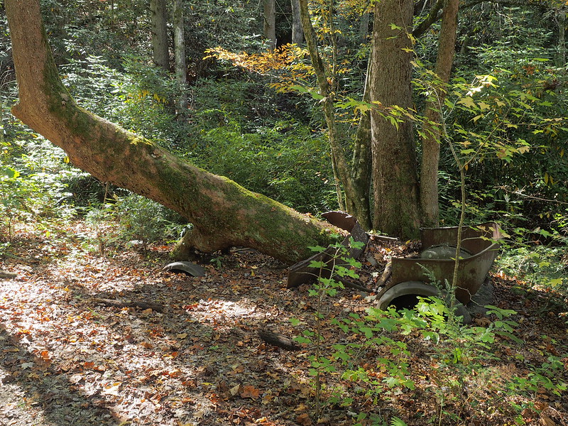
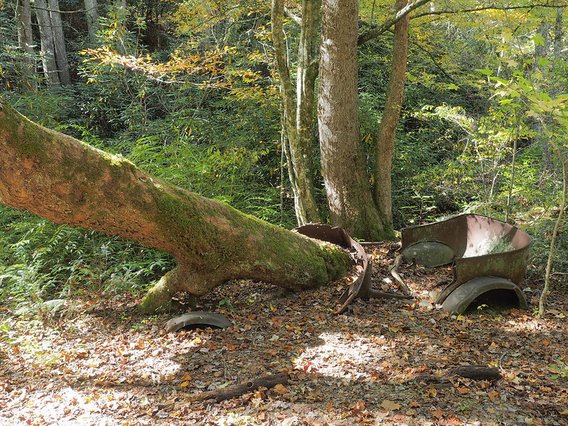
A very large tree now grows through what was once the engine of this vehicle.
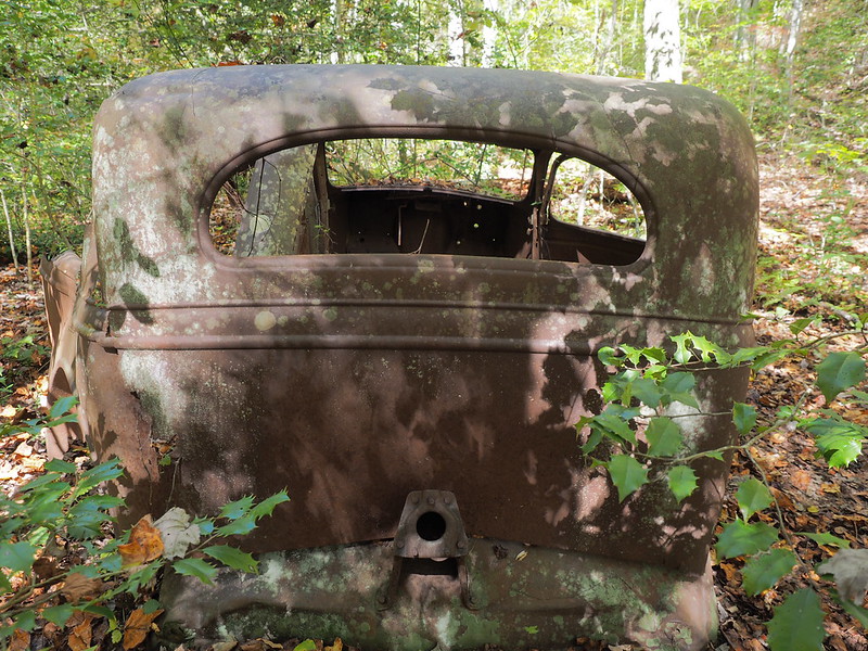
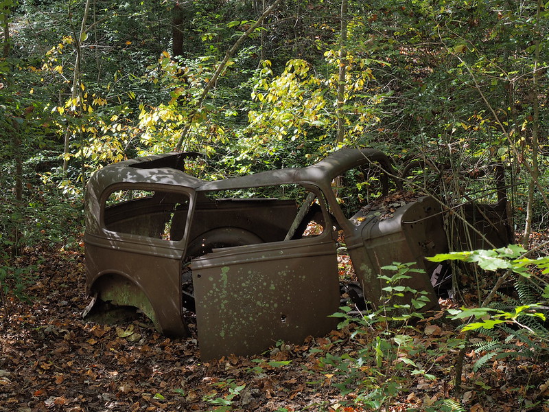
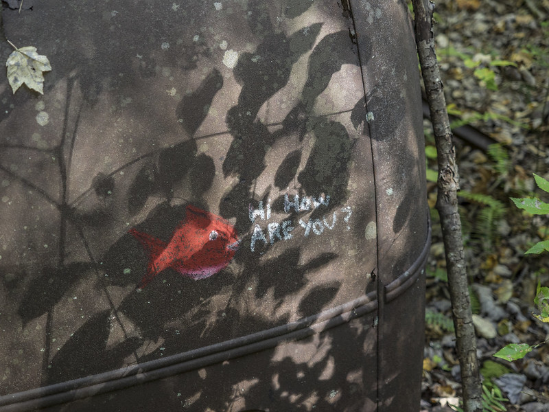
The hike begins at Fontana Dam. The view from atop the dam.
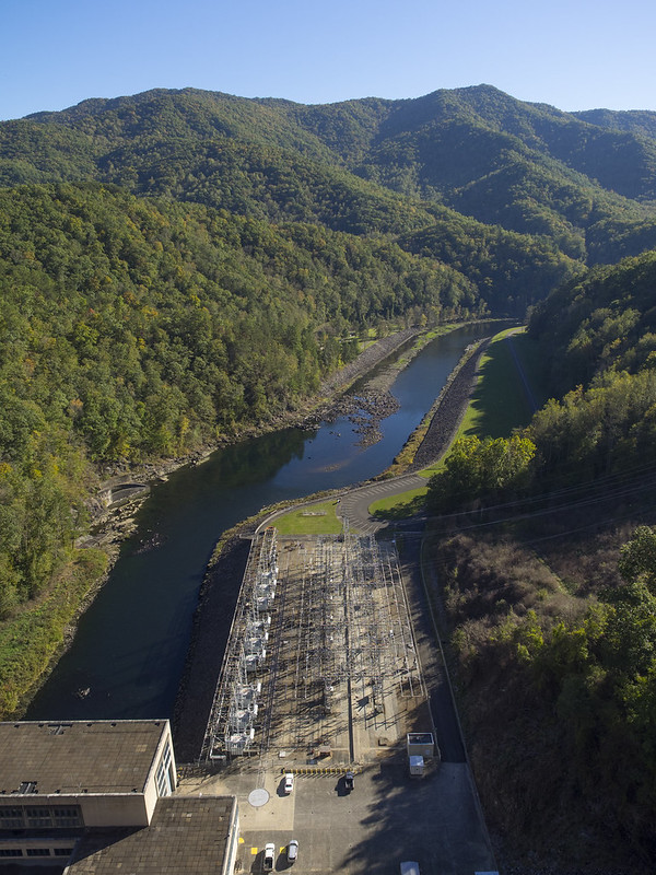
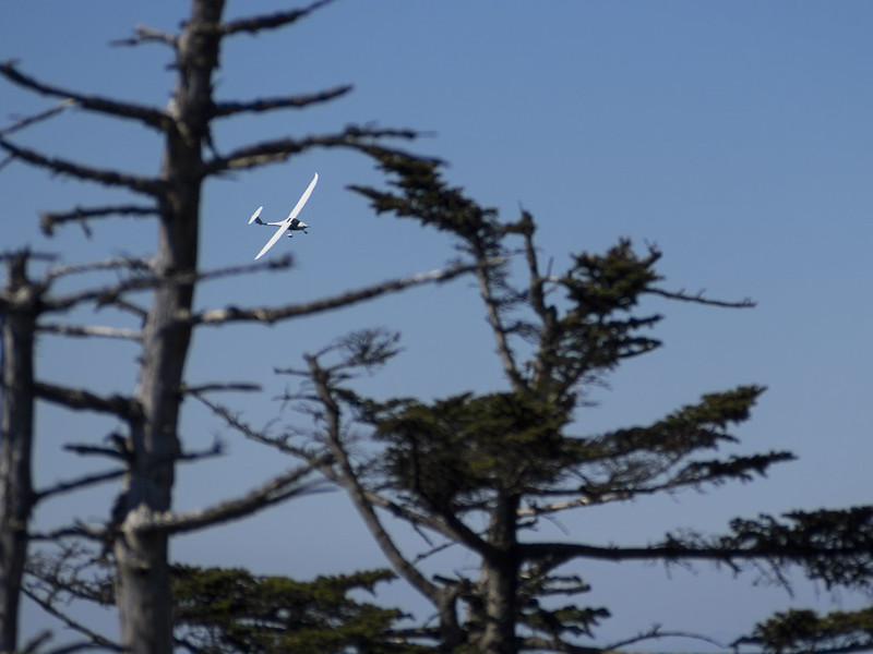
If you look up, you may spot a glider.
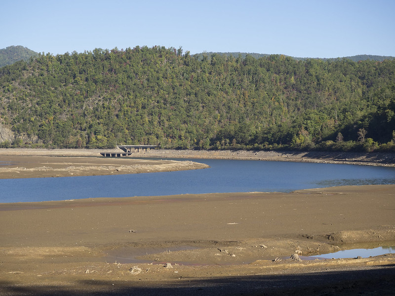
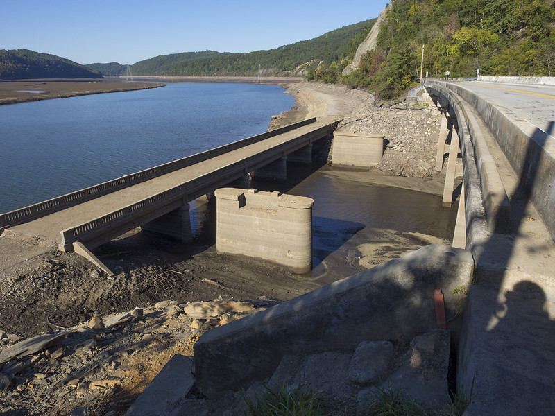
Another interesting tidbit from the trip... Another dam downstream from Fontana is undergoing repairs for a leak. To do this, the lake had to be drained. What was revealed when the lake was pulled down is quite a sight. The old road that was flooded by the lake after the dam was built is still visible and intact. The hundred year old bridge looks like it would still support traffic! The remains of an old railroad bridge can be seen as well, from the days when trains were needed to ferry supplies for dam construction.
